No products
 Facebook
  Google



- Write a review
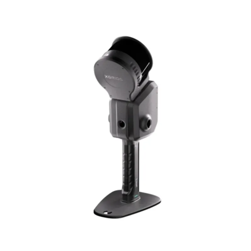
XGRIDS - Lixel L2 Pro/120m Standard Package (16 Channel)


 AI ASSISTANT CHAT
Or ask about:
| Type of Product | scanner |
- 1. Evaluate your options.
- 2a. If you want to buy only one product with Aizdevums.lv leasing, then fill out the application here
- 2b. If you want to buy several items or use another leasing company, then put the items in the basket and choose the leasing service when ordering.
We offer leasing from Aizdevums SIA, Incredit SIA, ESTO.
Manager will check the availability of the items in the cart and send the loan application link. - 3. If you receive a positive response, contact us to purchase the product. Consultants will check the availability of the product.
- 4. If the product is available in the store or to be ordered from the warehouse, and you have received an affirmative answer from our consultants, please visit the store to proceed with purchase and leasing documents.
- 4a. You can also ask us to issue an invoice for this product and visit one of the leasing company branches to sign up leasing documents *..
- 5. Once the leasing documents have been signed up, you can receive the product in the store, if it is on site or inform our consultants and they will order it for you from the warehouse.
- *It is possible to arrange delivery for leased goods, so you can also perform the entire purchase process remotely.
**The sequence of leasing steps is the same for leases offered by InCredit Group.
***In case of doubt, contact our consultants!
When using leasing services, carefully evaluate your options to repay the loan!Lease
Real-Time Scanning and Modeling Device
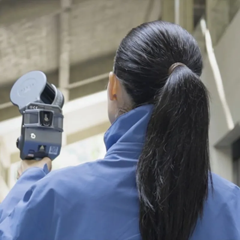
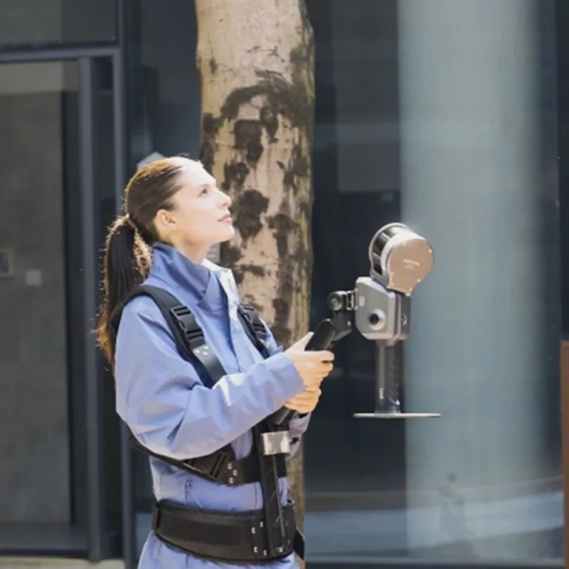
The XGRIDS Lixel L2 Pro integrates LiDAR, visual, and IMU modules with AI technology to deliver real-time point cloud data that matches the quality of post-processed results, enabling a "zero post-processing era" for SLAM devices.
Key Performance Specifications
- Scanning range: 120 meters
- Point rate: 320,000 points per second
- Point cloud spacing: 1 mm
- Relative accuracy: 1 cm
- Real-time absolute accuracy: 3 cm
- Real-time true color point cloud output
Fully Integrated and Deeply Optimized System
True SLAM with Real-Time Output
The L2 Pro provides real-time point cloud data with accuracy comparable to post-processed L2 data, eliminating waiting times and delivering instantly usable results.
LixelUpSample™ Algorithm
- Generates photo-quality color point clouds
- Produces 1 million points per square meter with 1 mm spacing for dense, detailed point clouds
- 5 mm point cloud thickness for enhanced mapping and precise line drawing
Reliable SLAM in Complex Environments
- Exclusive Multi-SLAM algorithm improves adaptability and reliability in challenging conditions
- Maintains continuous absolute coordinates in satellite-signal-limited areas such as indoors or underground
- Ensures stable mapping in degraded environments like subways and tunnels
Real-Time Data with Absolute Coordinates
Provides a seamless, user-friendly, and reliable workflow to maximize usability and flexibility with included accessories.
LixelGO Companion App
- Simple control with one screen and one-click operation
- Supports full process operations including RTK settings and breakpoint rescan
- Real-time viewing of camera images, elevation data, and true-color point clouds to prevent missing or incorrect data
- Displays collection status such as battery power, network connectivity, memory, and scanning range
Lixel Studio Point Cloud Processing Software
LixelStudio is an all-in-one 3D point cloud processing software powered by spatial intelligence algorithms, offering tools for viewing, editing, and processing point cloud data with industry-specific plugins and AI enhancements to boost efficiency and productivity.
Features
- One-click processing to improve precision and visual quality
- Panoramic overlay for simplified measurement and modeling
- Map fusion to combine multiple datasets for large-scale point cloud data
- Advanced editing tools including registration, noise removal, length and area measurement, and 3D clipping
- Rich rendering modes: RGB, intensity, elevation, and Eye-Dome Lighting (EDL)
- Accuracy report generation with manual or automatic verification
- Industry-specific applications such as stockpile measurement comparison and automatic mesh generation, with more tools forthcoming
Industry Applications
- Topographic Surveying
- Engineering
- Inspection and Maintenance
- Construction
- Agriculture and Forestry
- Film and Game Production
Package Contents
- 1x Handheld Scanner (16 channels, 120 m range)
- 1x L2 Series Handle Battery
- 1x L2 Series Charger & Converter
- 1x Type-C Cable
- 1x Ground Control Point (GCP) Collection Plate
- 1x Quick Start Guide
- 1x Warranty Card
- 1x Cleaning Cloth
- 1x Protective Case
Technical Specifications
For detailed technical specifications, please refer to the "Lixel L2 Pro" document available in the product download section.